
260, 6e Rang
Type :
Patrimoine immobilier
Région administrative :
- Chaudière-Appalaches
Municipalité :
- Saint-Benoît-Labre
Date :
- après 1912 (Construction)
Thématique :
- Patrimoine agricole
Usage :
- Production et extraction de richesses naturelles (Granges, granges-étables et étables)
Éléments associés
Inventaires associés (1)
Images


Carte
Description
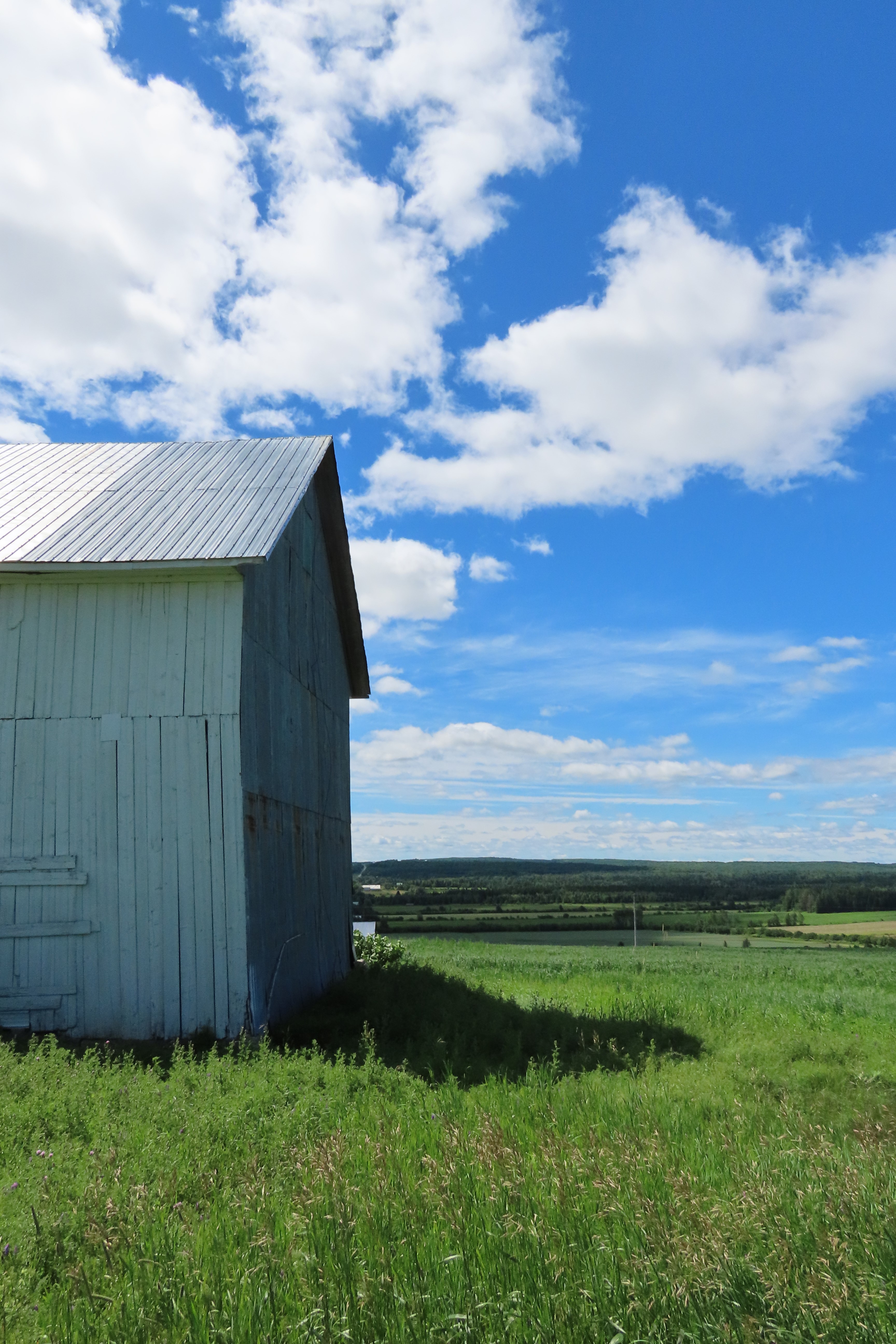
Nombre d'étages :
1 ½
Élévations :
- Toutes les façades : Bois (Planche verticale)
Toit :
-
Forme : À deux versants droits
Matériau : Tôle profilée
Statuts
| Statut | Catégorie | Autorité | Date |
|---|---|---|---|
| Inventorié | -- | ||
Emplacement
Region administrative :
- Chaudière-Appalaches
MRC :
- Beauce-Sartigan
Municipalité :
- Saint-Benoît-Labre
Adresse :
- 260, 6e Rang
Latitude :
- 46° 3' 18.88"
Longitude :
- -70° 47' 32.56"